The Department of Parks and Recreation (DPR) manages more than 30,000 acres of land—about 14 percent of New York City—including over 5,000 diverse properties, from Coney Island Beach and Central Park to community gardens and Greenstreets. Because maintenance needs are wide-ranging and inspections are not always frequent, small façade and roof issues can go unnoticed and gradually worsen, ultimately increasing repair costs. DPR is interested in exploring technologies that could support more regular, cost-effective inspections to help identify and address minor issues early, before they develop into larger problems.
Opportunity: T2D2, a New York City–based computer vision software company, applies its technology to review building images and create condition assessment reports. These reports can provide helpful insights for facilities management by highlighting potential concerns early and supporting thoughtful, proactive maintenance planning.
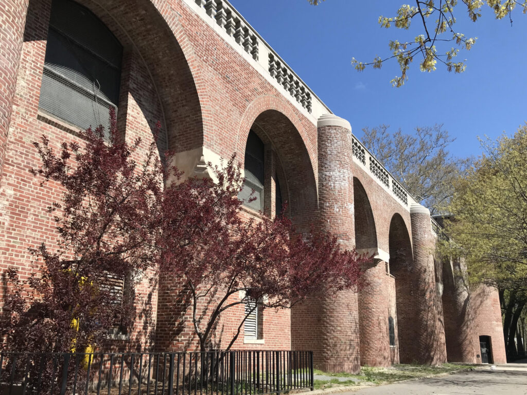
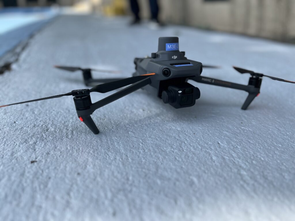
Methodology: The Fire Department of New York (FDNY) Robotics Unit generously used their drone to capture a series of geotagged images of the Jackie Robinson Recreational Center, a facility owned and managed by DPR, over the course of two hours.
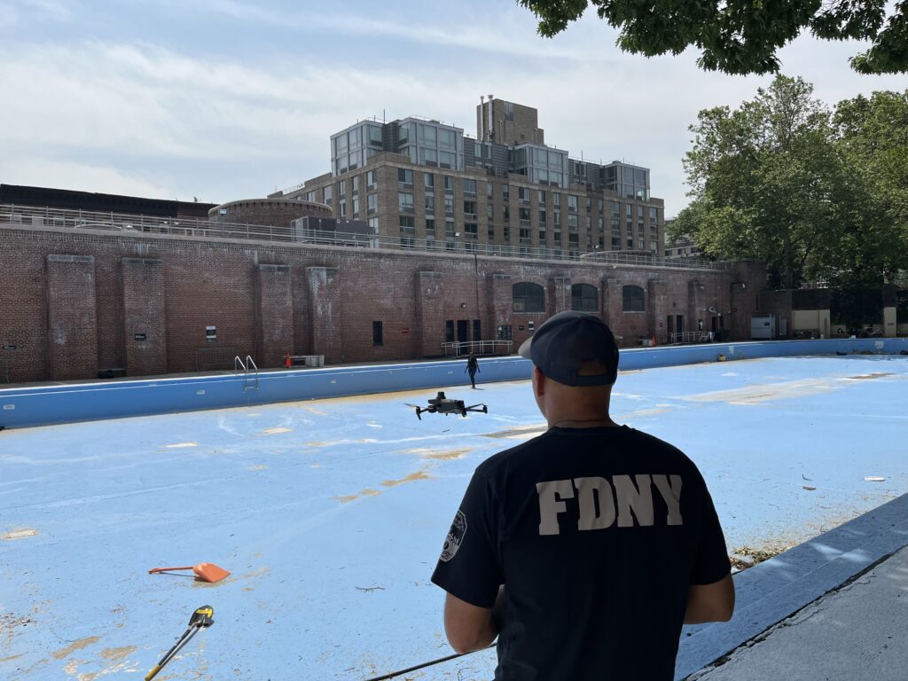
The geotagged aerial drone images were shared with T2D2, along with geotagged photos taken on an iPhone to capture areas beneath tree coverage that the drone could not access. T2D2 processed all images through their AI software to generate insights related to the building’s condition, helping to provide a more complete understanding of potential maintenance needs.
Brick Masonry
- Crack
- Spall
- Efflorescence
- Displacement
Concrete
- Crack
- Spall
Metal
- Corrosion
Roof Membrane
- Discoloration

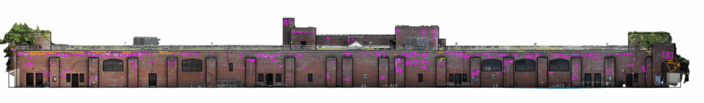
- Pink = Possible efflorescence
- Yellow = Possible cracking
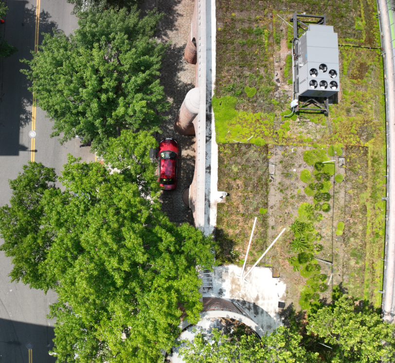
Location: Jackie Robinson Recreational Center
Signage: No physical signage was posted since the aerial data collection lasted less than two hours; however, staff were on site and available to answer any questions from the public during the data capture period.
Project Timeframe: March 2024 – August 2025
| Stakeholders |
| Department of Parks and Recreation (DPR) |
| Office of Technology and Innovation (OTI) |
| Fire Department of New York (FDNY) |
| T2D2 |
| Project Category |
| Artificial Intelligence (AI) |
| Computer Vision |
| Facade Inspections |