Opportunity: The New York City Department of City Planning (DCP) is responsible for shaping the long-term future of New York City by fostering thriving, connected neighborhoods supported by housing, economic opportunity, resilient infrastructure, and a vibrant public realm. Central to this mission is the effective movement of people and goods—an area led by DCP’s Transportation Planning Division, which prioritizes safety, mobility, equity, and sustainability.
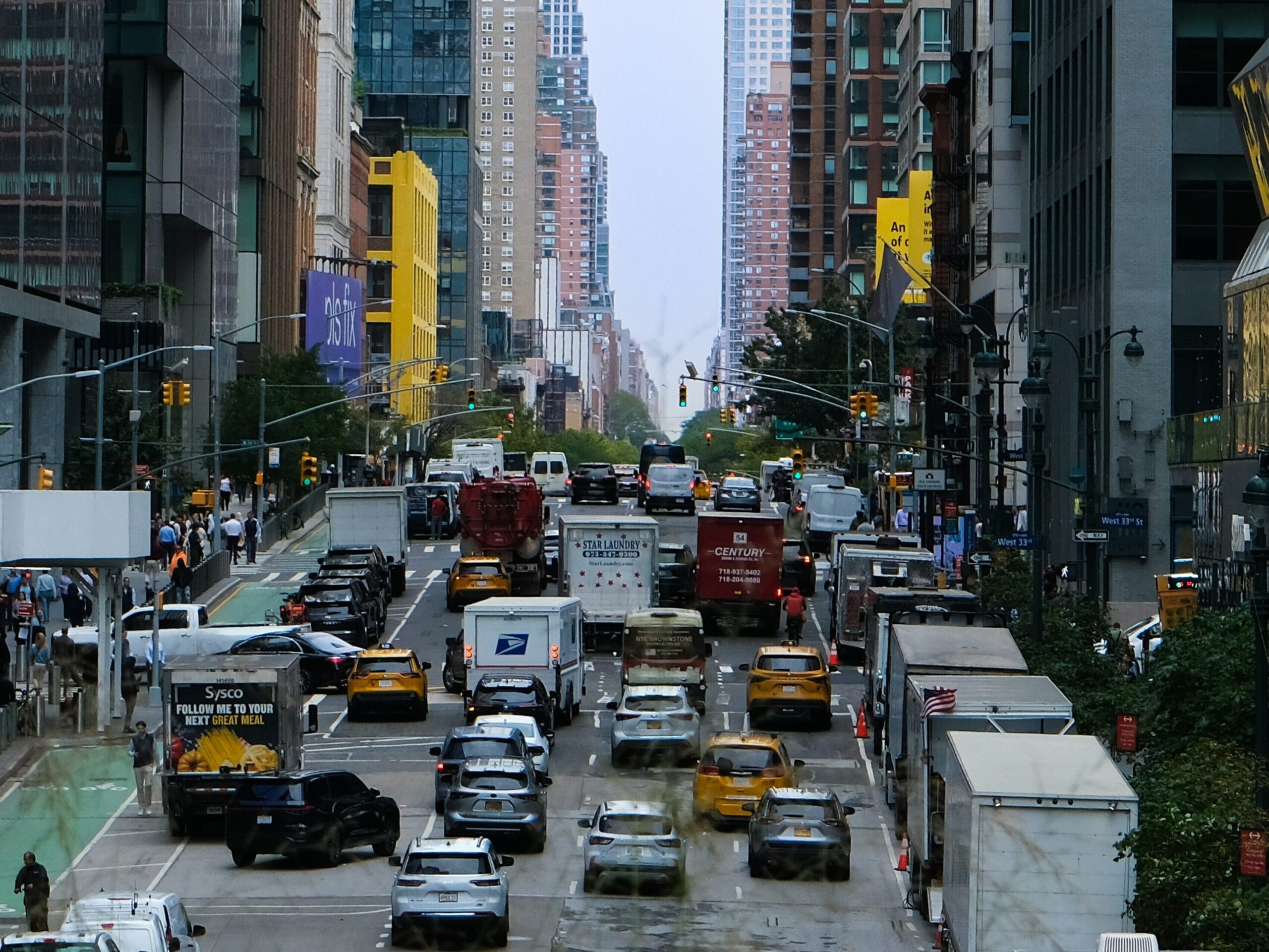
Driven by the rise of e-commerce and consumer expectations for fast, direct-to-door shipping, industrial activity related to moving goods around the city has generated higher trip volumes than from more traditional warehouse uses. To keep up with these changes on the road, the pilot aims to capture data on road-based industrial activity.
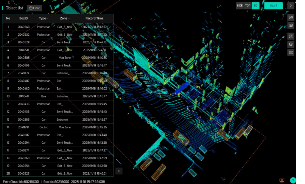
Seyond’s Intelligent Transportation Systems (ITS) Management Platform, SIMPL, uses LiDAR technology to automate traffic data collection. By emitting pulsed light waves that reflect off surrounding objects and return to sensors, the system creates highly accurate, all-weather measurements of traffic activity. These insights can support DCP and other stakeholders in evaluating the community-level impacts of industrial activities—including vehicle counts, sizes, and turn movements—helping to inform planning, safety, and policy decisions.
Metholody: SIMPL will detect the movement of industrial vehicles by emitting light waves into the environment. The light waves bounce off surrounding objects and return to the sensors, creating what is called a “point cloud” as illustrated in the image below. All data is collected, processed, and made available at the sensor location, also referred to as “the edge.”
Data Collection and reporting by Seyond:
- Monitor traffic flows by counting commercial vehicles, including the dimensions and speed.
- Produce a report at the end of the pilot summarizing the data methodology, and data results to ultimately explain where and how vehicle trips have been generated.
- Short summary document detailing the general methodology, including the technical specifications of the sensors and how the data is processed, as well as the logistics of the deployment (location, dates active, etc.).
- Summary data in the form of:
- Vehicle trips per day
- Peak hour vehicle trips
- Weekday vs. weekend vehicle trips, ideally broken down by vehicle type per size
Location: Within the five boroughs
Project Timeframe: January 2025 – January 2026
| Stakeholders |
| Department of City Planning (DCP) |
| Office of Technology and Innvation (OTI) |
| Seyond |
| Project Category |
| LiDAR |
| AI |
| Mobility |